Machame Route Kilimanjaro
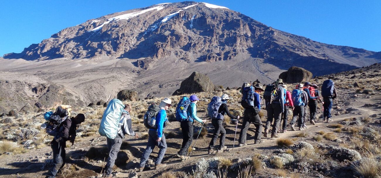
The Machame Route, also known as the “Whiskey Route,” is the most popular path to Mount Kilimanjaro’s summit. It attracts about 35% of climbers, making it the preferred trekking route.
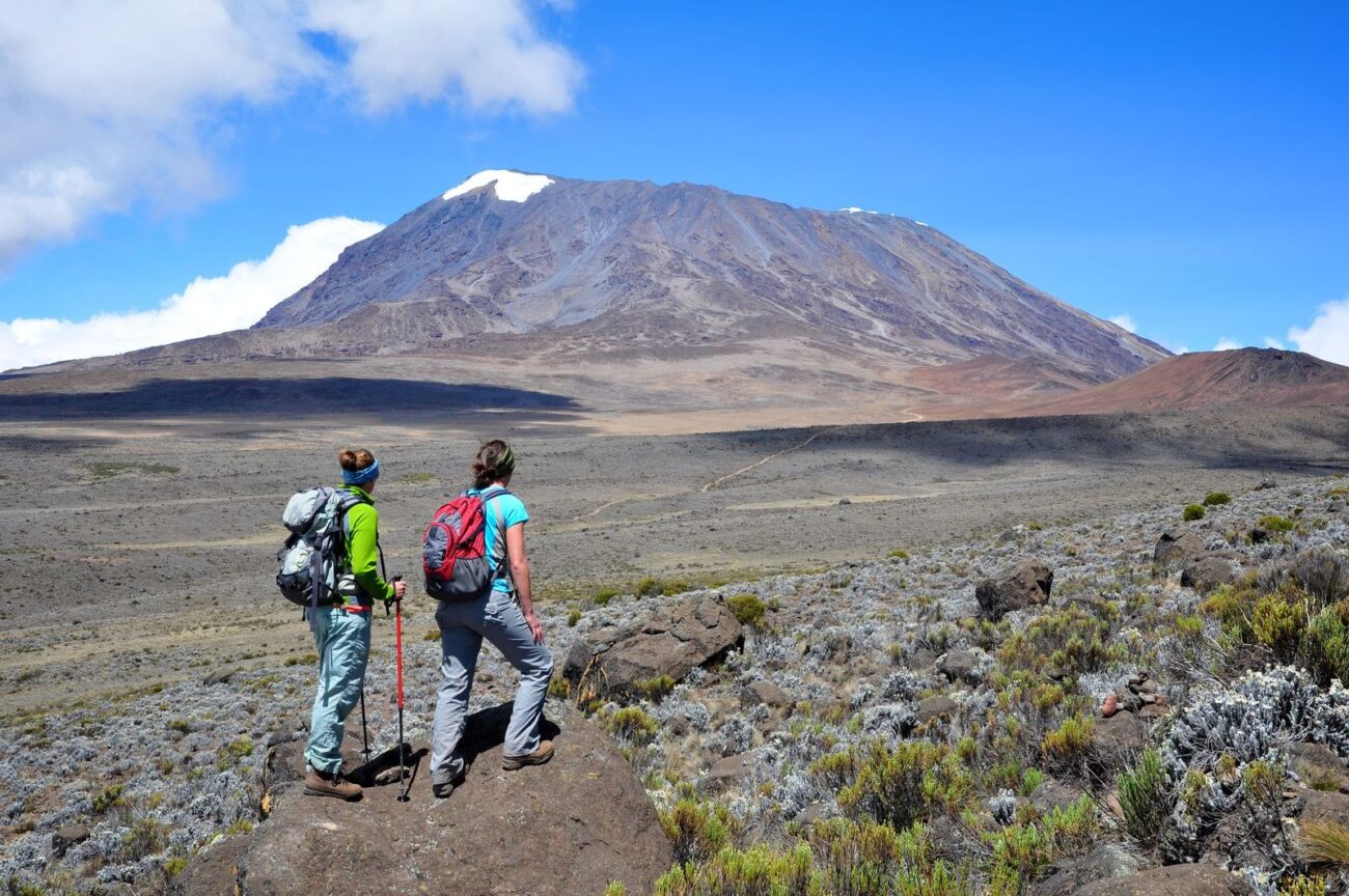
Unlike the Marangu Route, which features hut accommodations, the Machame Route provides a wilderness camping experience for those seeking a more immersive trek. The trail offers panoramic views, diverse ecological zones, and a challenging but achievable ascent.
The Machame Route is considered more challenging than the Marangu “Coca-Cola Route.” Its effective acclimatization profile and scenic landscapes have established it as a leading choice for Kilimanjaro expeditions.
The Machame Route provides a balanced challenge and accessibility for travelers with flexible schedules. Its longer itinerary allows for better acclimatization, resulting in higher summit success rates than shorter routes.
Barranco Wall
Despite its appearance, the Barranco Wall is manageable. The trail uses switchbacks and natural ledges, requiring no technical climbing gear. Most climbers complete the ascent in one to one and a half hours.
At the top, climbers enjoy expansive views of the landscape, including Kibo Peak. Completing the Barranco Wall is a memorable achievement that enhances the Machame Route experience.
Machame Route Kilimanjaro Map
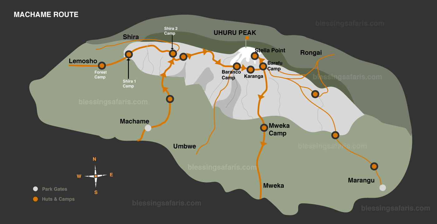
Machame Route Scenery: Five Climatic Zones
- Rainforest Zone (1,800-2,800 meters): The trek begins in the montane forest, with moss-covered trees and a dense canopy. This area offers opportunities to see colobus monkeys and various bird species.
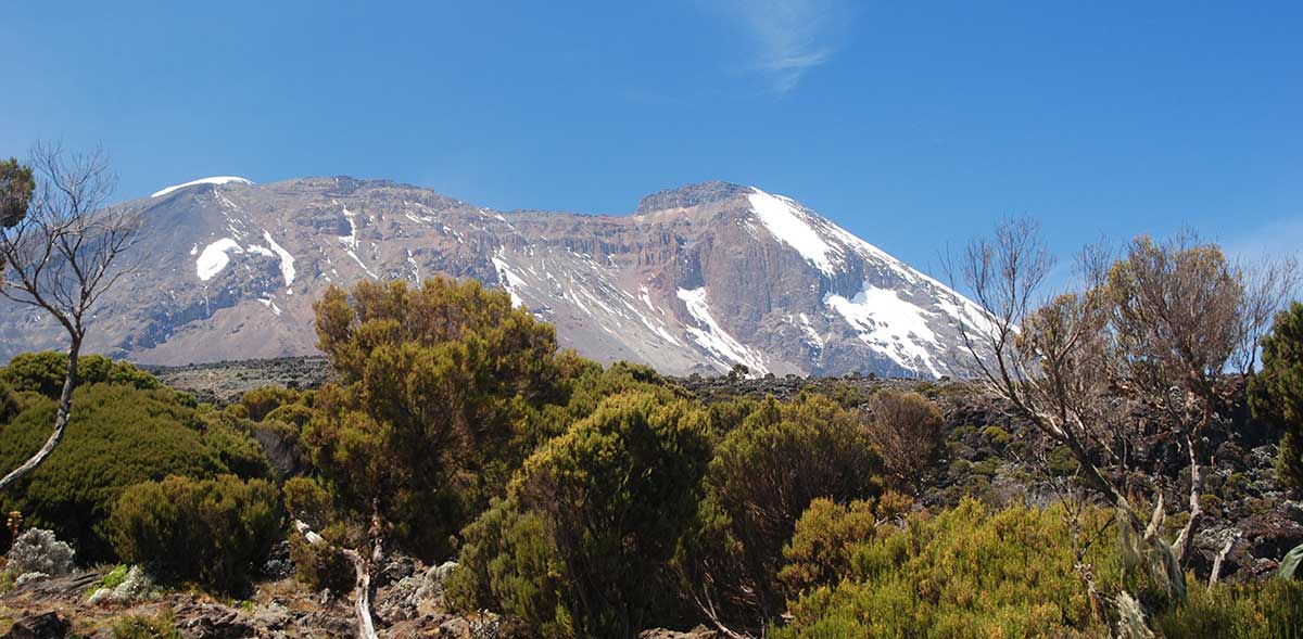
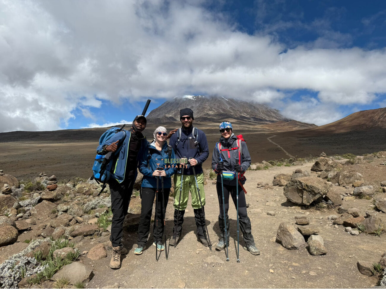
- Heath and Moorland Zone (2,800-4,000 meters): The landscape transitions to rolling hills with giant groundsels and lobelias. The Shira Plateau provides clear views of Kibo Peak and the summit.
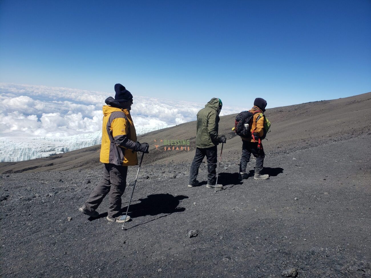
- Alpine Desert Zone (4,000-5,000 meters): The terrain is barren, dominated by volcanic rocks and scree. Lava Tower at 4,600 meters is the highest point before descending to Barranco Camp, following the “climb high, sleep low” technique.
- Glacial Zone (5,000+ meters): Near the summit, ice formations and snowfields create an arctic environment. The final ascent to Uhuru Peak often occurs before dawn.
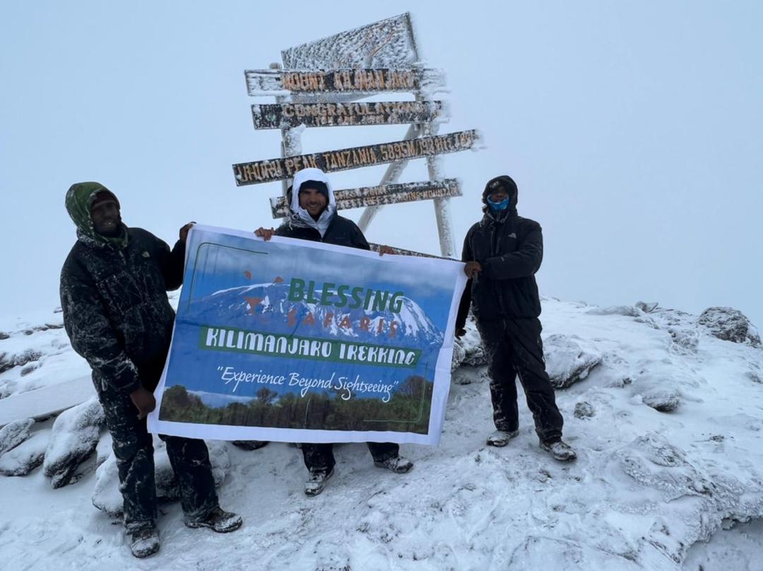
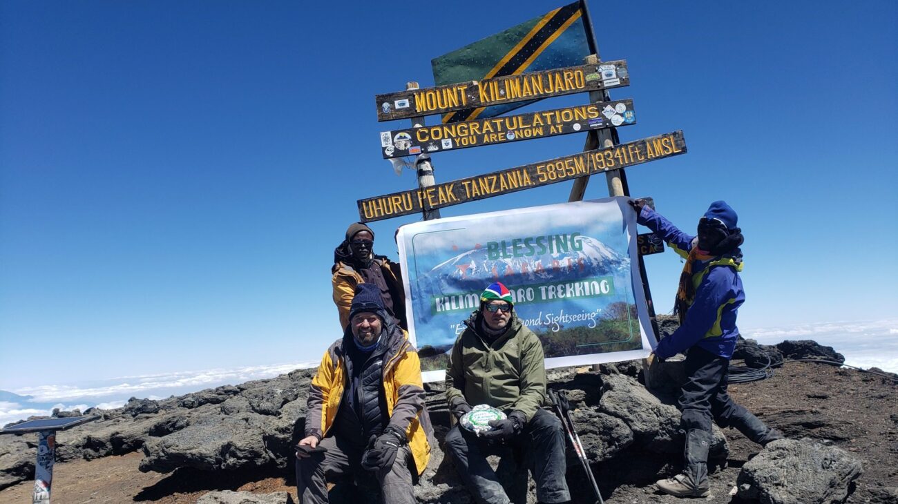
- Summit Zone (5,895 meters): At Uhuru Peak, climbers enjoy panoramic views across Tanzania and Kenya. The summit sign marks the achievement and offers a photo opportunity.
Machame Route 7-Day Detailed Itinerary
| Day | Starting Camp | Altitude | Finish Camp | Altitude | Time | Distance |
| 1 | Machame Gate | 1800m | Machame Camp | 2650m | 5hrs | 11km |
| 2 | Machame Camp | 2835m | Shira Cave Camp | 3750m | 6hrs | 5km |
| 3 | Shira Cave Camp | 3750m | Lava tower camp | 4600m | 4hrs | 7km |
| Lava Tower | 4600m | Barranco Camp | 3900m | 2hrs | 3km | |
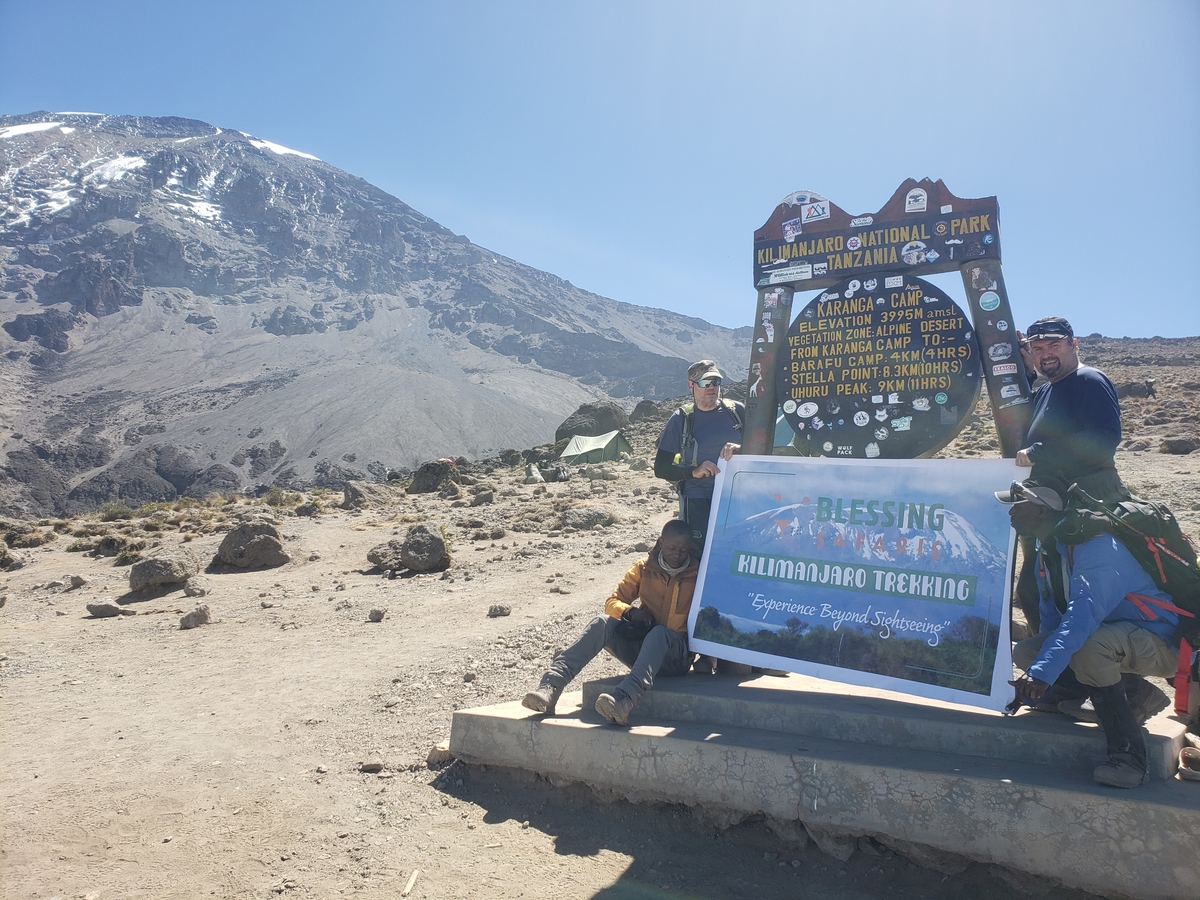
| 4 | Barranco Camp | 3900m | Karanga Camp | 3995m | 4hrs | 6km |
| 5 | Karanga Camp | 3995m | Barafu Camp | 4673m | 4hrs | 4km |
| 6 | Barafu Camp | 4673m | Uhuru Peak | 5895m | 7hrs | 5km |
| 7 | Uhuru peak | 5895m | Mweka Camp | 3100m | 7hrs | 12km |
| Mweka Camp | 3100m | Mweka Gate | 1640m | 3hrs | 10km |
Machame Route 7-Day Detailed Itinerary
Day 1: Machame Gate to Machame Camp
Day 2: Machame Camp to Shira Camp
Day 3: Shira Camp to Lava Tower to Barranco Camp
Day 4: Barranco Camp to Karanga Camp
Day 5: Karanga Camp to Barafu Camp
Day 6: Barafu Camp to Uhuru Peak to Mweka Camp
Day 7: Mweka Camp to Mweka Gate to Arusha
Machame Route Difficulty and Physical Requirements
Physical Preparation
Mental Preparation
Recommended Experience
Machame Route Summit Success Rates and Statistics
The Machame Route achieves high summit success rates due to superior acclimatization. About 85% of climbers reach Uhuru Peak on the 7-day route, compared to 73% on the 6-day version.
The dramatic difference between the 7-day and 6-day itineraries highlights the importance of proper acclimatization. Climber: The difference between the 7-day and 6-day itineraries underscores the importance of acclimatization. An extra day allows gradual adaptation, improving success rates.
Comparing the Machame Route with Other Kilimanjaro Routes
Machame vs. Marangu Route
Machame vs. Lemosho Route
Machame vs. Rongai Route
Machame vs. Northern Circuit Route
Best Time to Climb the Machame Route
- January to February: Warm, clear conditions with excellent visibility
- June to October: Dry season with stable weather patterns
- September to October: Peak season with ideal climbing conditions
Frequently Asked Questions About the Machame Route
How Challenging Is the Machame Route?
The Machame Route is rated as moderately difficult, with varied terrain and significant elevation changes. It’s considered one of the more challenging routes up Kilimanjaro due to steep sections and the famous Barranco Wall. However, proper physical preparation and an experienced guide make it achievable for determined individuals with good fitness levels.
How Long Is the Machame Route?
What Is the Summit Success Rate on the Machame Route?
What Scenery Can I Expect on the Machame Route?
When Is the Best Time to Trek the Machame Route?
Plan Your Machame Route Trekking
The Machame Route provides a challenging, scenic, and rewarding Kilimanjaro experience. Its acclimatization profile and landscapes have made it the most popular route to the summit.
Our team designs personalized Machame Route expeditions with a focus on safety, comfort, and summit success. We offer experienced guides, quality equipment, and comprehensive support throughout your climb.
Mount Kilimanjaro Tour Packages
From $2,080
8 Days, 7 Nights
6 Days Rongai Route
Mt. Kilimanjaro
From $1,845
8 Days, 7 Nights
6 Days Marangu Route
Mt. Kilimanjaro
From $2,080
8 Days , 7 Nights
6 Days Machame Route
Mt. Kilimanjaro
From $1,650
7 Days , 6 Nights
5 Days Marangu Route
Mt. Kilimanjaro